
Thank you for supporting this site ❤️
Make a donation
Make a donation
Broughton topographic map
Click on the map to display elevation.
Thank you for supporting this site ❤️
Make a donation
Make a donation
About this map
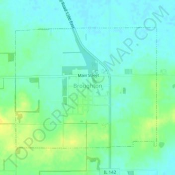
Name: Broughton topographic map, elevation, terrain.
Location: Broughton, Hamilton County, Illinois, 62817, United States (37.92511 -88.47617 37.94377 -88.44849)
Average elevation: 118 m
Minimum elevation: 110 m
Maximum elevation: 132 m
Thank you for supporting this site ❤️
Make a donation
Make a donation
Other topographic maps
Click on a map to view its topography, its elevation and its terrain.