
Ivenrode topographic map
Interactive map
Click on the map to display elevation.
About this map
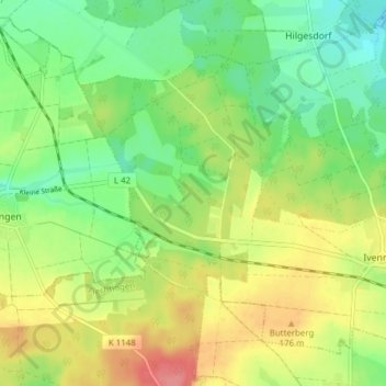
Name: Ivenrode topographic map, elevation, terrain.
Average elevation: 151 m
Minimum elevation: 119 m
Maximum elevation: 195 m
Other topographic maps
Click on a map to view its topography, its elevation and its terrain.
Emden
Deutschland > Sachsen-Anhalt > Altenhausen
Emden, Altenhausen, Flechtingen, Börde, Sachsen-Anhalt, Deutschland
Average elevation: 121 m