
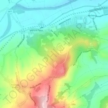
Verduno topographic map
Interactive map
Click on the map to display elevation.
About this map
Name: Verduno topographic map, elevation, terrain.
Location: Verduno, CN, PIE, Itália (44.65736 7.91526 44.68786 7.95725)
Average elevation: 251 m
Minimum elevation: 170 m
Maximum elevation: 407 m