
Thank you for supporting this site ❤️
Make a donation
Make a donation
Herent topographic map
Click on the map to display elevation.
Thank you for supporting this site ❤️
Make a donation
Make a donation
About this map
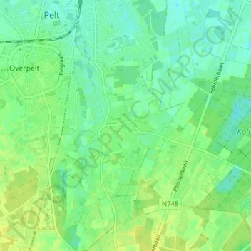
Name: Herent topographic map, elevation, terrain.
Location: Herent, Neerpelt, Pelt, Maaseik, Limburg, 3910, België (51.18214 5.42870 51.22214 5.46870)
Average elevation: 46 m
Minimum elevation: 38 m
Maximum elevation: 53 m
Thank you for supporting this site ❤️
Make a donation
Make a donation