
Thank you for supporting this site ❤️
Make a donation
Make a donation
Naryn City topographic map
Click on the map to display elevation.
Thank you for supporting this site ❤️
Make a donation
Make a donation
About this map
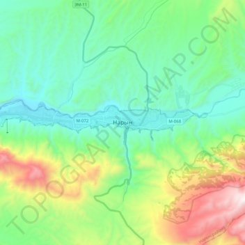
Name: Naryn City topographic map, elevation, terrain.
Location: Naryn City, Naryn Region, Kyrgyzstan (41.41156 75.87467 41.43872 76.07561)
Average elevation: 2,420 m
Minimum elevation: 1,992 m
Maximum elevation: 3,584 m
Thank you for supporting this site ❤️
Make a donation
Make a donation