
巴拉嘎尔高勒镇 topographic map
Interactive map
Click on the map to display elevation.
About this map
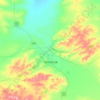
Name: 巴拉嘎尔高勒镇 topographic map, elevation, terrain.
Location: 巴拉嘎尔高勒镇, 西乌珠穆沁旗, 锡林郭勒盟, 内蒙古自治区, 中国 (44.52567 117.50815 44.70871 117.92877)
Average elevation: 1,052 m
Minimum elevation: 946 m
Maximum elevation: 1,290 m
Other topographic maps
Click on a map to view its topography, its elevation and its terrain.