
Sägendobel topographic map
Interactive map
Click on the map to display elevation.
About this map
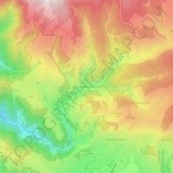
Name: Sägendobel topographic map, elevation, terrain.
Average elevation: 859 m
Minimum elevation: 517 m
Maximum elevation: 1,159 m
Other topographic maps
Click on a map to view its topography, its elevation and its terrain.
Ränke
Deutschland > Baden-Württemberg > Landkreis Breisgau-Hochschwarzwald > St. Peter
Ränke, St. Peter, GVV St. Peter, Landkreis Breisgau-Hochschwarzwald, Baden-Württemberg, 79271, Deutschland
Average elevation: 714 m