
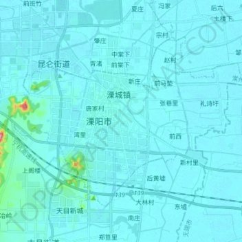
溧城街道 topographic map
Interactive map
Click on the map to display elevation.
About this map
Name: 溧城街道 topographic map, elevation, terrain.
Location: 溧城街道, 溧阳市, 常州市, 江苏省, 213300, 中国 (31.37838 119.42925 31.45845 119.56245)
Average elevation: 9 m
Minimum elevation: 1 m
Maximum elevation: 158 m
Other topographic maps
Click on a map to view its topography, its elevation and its terrain.