
Thank you for supporting this site ❤️
Make a donation
Make a donation
Angat River topographic map
Click on the map to display elevation.
Thank you for supporting this site ❤️
Make a donation
Make a donation
About this map
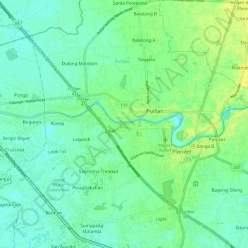
Name: Angat River topographic map, elevation, terrain.
Location: Angat River, Pulilan, Bulacan, Central Luzon, Philippines (14.88753 120.77470 14.90647 120.87786)
Average elevation: 7 m
Minimum elevation: 0 m
Maximum elevation: 19 m
Thank you for supporting this site ❤️
Make a donation
Make a donation