
Infesta topographic map
Interactive map
Click on the map to display elevation.
About this map
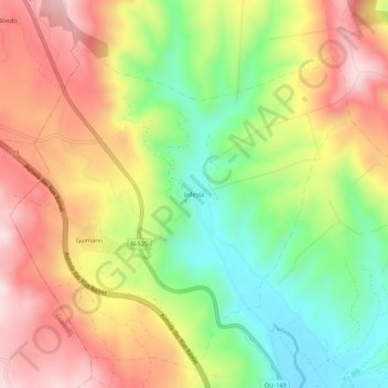
Name: Infesta topographic map, elevation, terrain.
Location: Infesta, Guimarei, Verín, Ourense, Galice, 32618, Espagne (41.95498 -7.53255 41.99498 -7.49255)
Average elevation: 589 m
Minimum elevation: 396 m
Maximum elevation: 784 m