
Klosterhäseler topographic map
Interactive map
Click on the map to display elevation.
About this map
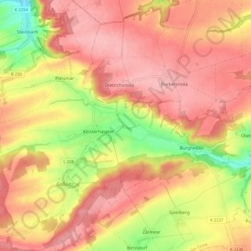
Name: Klosterhäseler topographic map, elevation, terrain.
Average elevation: 246 m
Minimum elevation: 162 m
Maximum elevation: 295 m
Other topographic maps
Click on a map to view its topography, its elevation and its terrain.
Herrengosserstedt
Deutschland > Sachsen-Anhalt > An der Poststraße
Herrengosserstedt, An der Poststraße, An der Finne, Burgenlandkreis, Sachsen-Anhalt, Deutschland
Average elevation: 227 m