
Lac Côme topographic map
Interactive map
Click on the map to display elevation.
About this map
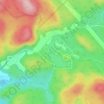
Name: Lac Côme topographic map, elevation, terrain.
Location: Lac Côme, Saint-Côme, Matawinie, Lanaudière, Québec, Canada (46.29473 -73.71780 46.30263 -73.70787)
Average elevation: 352 m
Minimum elevation: 254 m
Maximum elevation: 476 m
Other topographic maps
Click on a map to view its topography, its elevation and its terrain.
Lac Thériault
Canada > Québec > Matawinie > Saint-Côme
Lac Thériault, Saint-Côme, Matawinie, Lanaudière, Québec, Canada
Average elevation: 397 m