
乐素河镇 topographic map
Interactive map
Click on the map to display elevation.
About this map
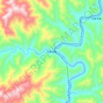
Name: 乐素河镇 topographic map, elevation, terrain.
Location: 乐素河镇, 略阳县, 汉中市, 陕西省, 中国 (33.15839 105.99678 33.23839 106.07678)
Average elevation: 965 m
Minimum elevation: 596 m
Maximum elevation: 1,661 m
Other topographic maps
Click on a map to view its topography, its elevation and its terrain.