
Glenwood topographic map
Interactive map
Click on the map to display elevation.
About this map
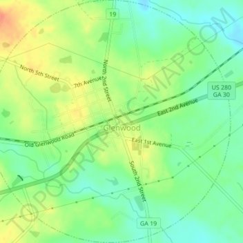
Name: Glenwood topographic map, elevation, terrain.
Location: Glenwood, Wheeler County, Georgia, Estados Unidos de América (32.16606 -82.68836 32.19521 -82.65415)
Average elevation: 55 m
Minimum elevation: 35 m
Maximum elevation: 80 m