
海宁高新技术产业园区 topographic map
Interactive map
Click on the map to display elevation.
About this map
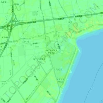
Name: 海宁高新技术产业园区 topographic map, elevation, terrain.
Location: 海宁高新技术产业园区, 海宁市, 嘉兴市, 浙江省, 中国 (30.36462 120.39366 30.40462 120.43366)
Average elevation: 6 m
Minimum elevation: 0 m
Maximum elevation: 11 m
Other topographic maps
Click on a map to view its topography, its elevation and its terrain.