
Jalandhar topographic map
Interactive map
Click on the map to display elevation.
About this map
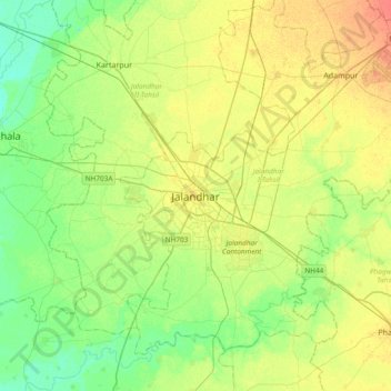
Name: Jalandhar topographic map, elevation, terrain.
Location: Jalandhar, Jullundur, Jalandhar, Punjab, 144001, India (31.17238 75.41689 31.49238 75.73689)
Average elevation: 237 m
Minimum elevation: 221 m
Maximum elevation: 257 m