
Altstadt Grossbasel topographic map
Interactive map
Click on the map to display elevation.
About this map
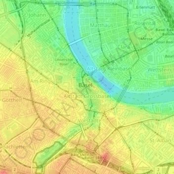
Name: Altstadt Grossbasel topographic map, elevation, terrain.
Location: Altstadt Grossbasel, Basileia, Basel-Stadt, 4001, Suíça (47.55378 7.58400 47.56178 7.59553)
Average elevation: 271 m
Minimum elevation: 243 m
Maximum elevation: 296 m