
Thank you for supporting this site ❤️
Make a donation
Make a donation
Mount Hotham topographic map
Click on the map to display elevation.
Thank you for supporting this site ❤️
Make a donation
Make a donation
About this map
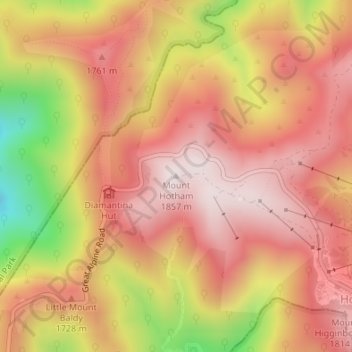
Name: Mount Hotham topographic map, elevation, terrain.
Location: Mount Hotham, Hotham Village, Victoria, Australia (-36.97535 147.12804 -36.97525 147.12814)
Average elevation: 1,632 m
Minimum elevation: 1,202 m
Maximum elevation: 1,863 m
Thank you for supporting this site ❤️
Make a donation
Make a donation