
Ала-Арча topographic map
Interactive map
Click on the map to display elevation.
About this map
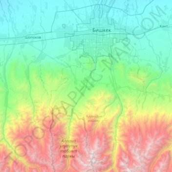
Name: Ала-Арча topographic map, elevation, terrain.
Location: Ала-Арча, Rajon Alamüdün, Gebiet Tschüi, Kirgisistan (42.47614 74.47536 42.96208 74.60018)
Average elevation: 1,783 m
Minimum elevation: 639 m
Maximum elevation: 4,855 m