
Thank you for supporting this site ❤️
Make a donation
Make a donation
San Javier topographic map
Click on the map to display elevation.
Thank you for supporting this site ❤️
Make a donation
Make a donation
About this map
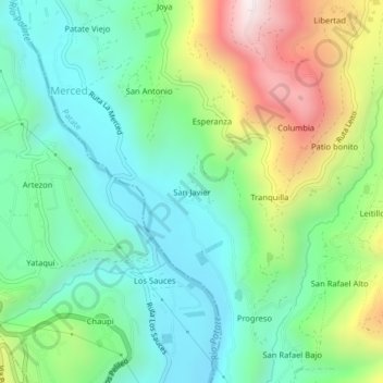
Name: San Javier topographic map, elevation, terrain.
Location: San Javier, Patate, Tungurahua, 180550, Ecuador (-1.36789 -78.51406 -1.32789 -78.47406)
Average elevation: 2,269 m
Minimum elevation: 1,956 m
Maximum elevation: 2,951 m
Thank you for supporting this site ❤️
Make a donation
Make a donation