
Thank you for supporting this site ❤️
Make a donation
Make a donation
La Panne topographic map
Click on the map to display elevation.
Thank you for supporting this site ❤️
Make a donation
Make a donation
About this map
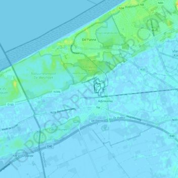
Name: La Panne topographic map, elevation, terrain.
Location: La Panne, Furnes, Flandre-Occidentale, 8660, Belgique (51.04617 2.54136 51.11378 2.63455)
Average elevation: 2 m
Minimum elevation: -7 m
Maximum elevation: 22 m
Thank you for supporting this site ❤️
Make a donation
Make a donation
Other topographic maps
Click on a map to view its topography, its elevation and its terrain.