
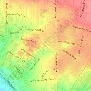
The Bite Food Park topographic map
Interactive map
Click on the map to display elevation.
About this map
Name: The Bite Food Park topographic map, elevation, terrain.
Average elevation: 1,196 m
Minimum elevation: 1,146 m
Maximum elevation: 1,224 m
Other topographic maps
Click on a map to view its topography, its elevation and its terrain.
Tigua
United States > Texas > El Paso County > El Paso
Tigua, El Paso, El Paso County, Texas, 79915, United States
Average elevation: 1,135 m
Mountain View
United States > Texas > El Paso County > El Paso
Mountain View, El Paso, El Paso County, Texas, 79906, United States
Average elevation: 1,190 m