
Thank you for supporting this site ❤️
Make a donation
Make a donation
Auburn topographic map
Click on the map to display elevation.
Thank you for supporting this site ❤️
Make a donation
Make a donation
About this map
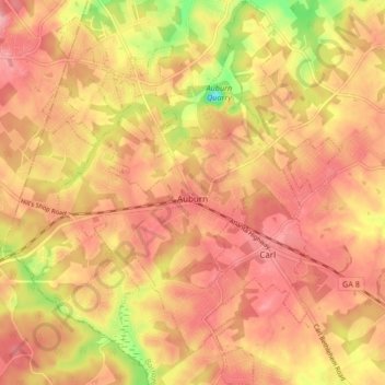
Name: Auburn topographic map, elevation, terrain.
Location: Auburn, Barrow County, Georgia, 30011, United States (33.98021 -83.86523 34.04937 -83.79528)
Average elevation: 300 m
Minimum elevation: 221 m
Maximum elevation: 339 m
Thank you for supporting this site ❤️
Make a donation
Make a donation
Other topographic maps
Click on a map to view its topography, its elevation and its terrain.