
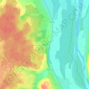
La Bellevue topographic map
Interactive map
Click on the map to display elevation.
About this map
Name: La Bellevue topographic map, elevation, terrain.
Average elevation: 185 m
Minimum elevation: 162 m
Maximum elevation: 211 m
Other topographic maps
Click on a map to view its topography, its elevation and its terrain.
Les Linans
France > Centre-Val de Loire > Cher > Cuffy > Les Linans
Les Linans, Cuffy, Saint-Amand-Montrond, Cher, Centre-Val de Loire, France métropolitaine, 18150, France
Average elevation: 184 m