
Aït Khelifa topographic map
Interactive map
Click on the map to display elevation.
About this map
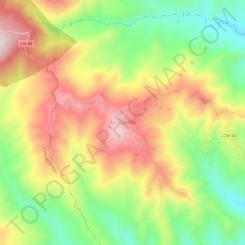
Name: Aït Khelifa topographic map, elevation, terrain.
Location: Aït Khelifa, Djaafra, Daïra Djaafra, Bordj Bou Arreridj, Algérie (36.24579 4.68049 36.28579 4.72049)
Average elevation: 884 m
Minimum elevation: 667 m
Maximum elevation: 1,111 m