
Thank you for supporting this site ❤️
Make a donation
Make a donation
Columbus topographic map
Click on the map to display elevation.
Thank you for supporting this site ❤️
Make a donation
Make a donation
About this map
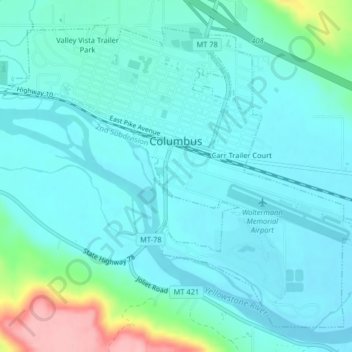
Name: Columbus topographic map, elevation, terrain.
Location: Columbus, Stillwater County, Montana, United States (45.62150 -109.27125 45.64595 -109.23056)
Average elevation: 1,107 m
Minimum elevation: 1,081 m
Maximum elevation: 1,230 m
Thank you for supporting this site ❤️
Make a donation
Make a donation
Other topographic maps
Click on a map to view its topography, its elevation and its terrain.