
De Wilgen topographic map
Interactive map
Click on the map to display elevation.
About this map
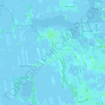
Name: De Wilgen topographic map, elevation, terrain.
Location: De Wilgen, Smallingerland, Friesland, Nederland (53.08883 5.99128 53.10806 6.04998)
Average elevation: 0 m
Minimum elevation: -8 m
Maximum elevation: 5 m
Other topographic maps
Click on a map to view its topography, its elevation and its terrain.
Boornbergum
Nederland > Friesland > Smallingerland
Boornbergum, Smallingerland, Friesland, Nederland
Average elevation: 0 m
Rottevalle
Nederland > Friesland > Smallingerland
Rottevalle, Smallingerland, Friesland, Nederland
Average elevation: 2 m
De Wilgen
Nederland > Friesland > Smallingerland > De Wilgen
De Wilgen, Smallingerland, Friesland, Nederland, 9213, Nederland
Average elevation: 0 m
De Tike
Nederland > Friesland > Smallingerland
De Tike, Smallingerland, Friesland, Nederland
Average elevation: 0 m