
Rumipamba topographic map
Interactive map
Click on the map to display elevation.
About this map
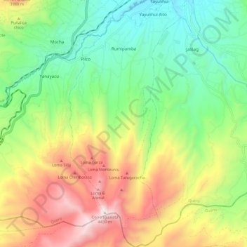
Name: Rumipamba topographic map, elevation, terrain.
Location: Rumipamba, Quero, Tungurahua, Ecuador (-1.50838 -78.65651 -1.40113 -78.60765)
Average elevation: 3,554 m
Minimum elevation: 3,003 m
Maximum elevation: 4,408 m