
强嘎乡 topographic map
Interactive map
Click on the map to display elevation.
About this map
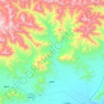
Name: 强嘎乡 topographic map, elevation, terrain.
Location: 强嘎乡, 林周县, 拉萨市, 西藏自治区, 中国 (29.90211 91.04454 30.11018 91.23525)
Average elevation: 4,373 m
Minimum elevation: 3,758 m
Maximum elevation: 5,492 m
Other topographic maps
Click on a map to view its topography, its elevation and its terrain.