
柳林镇 topographic map
Interactive map
Click on the map to display elevation.
About this map
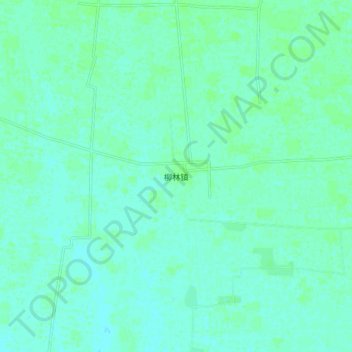
Name: 柳林镇 topographic map, elevation, terrain.
Location: 柳林镇, 亳州市, 安徽省, 中国 (33.06550 116.59800 33.14550 116.67800)
Average elevation: 25 m
Minimum elevation: 22 m
Maximum elevation: 29 m