
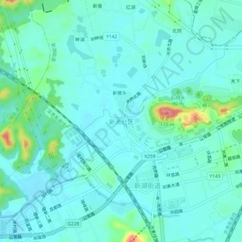
新羌社区 topographic map
Interactive map
Click on the map to display elevation.
About this map
Name: 新羌社区 topographic map, elevation, terrain.
Location: 新羌社区, 深圳市, 广东省, 518107, 中国 (22.78339 113.91781 22.82339 113.95781)
Average elevation: 22 m
Minimum elevation: 4 m
Maximum elevation: 109 m