
Monfrange topographic map
Interactive map
Click on the map to display elevation.
About this map
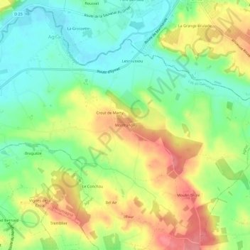
Name: Monfrange topographic map, elevation, terrain.
Average elevation: 78 m
Minimum elevation: 40 m
Maximum elevation: 127 m
Other topographic maps
Click on a map to view its topography, its elevation and its terrain.
Iffour
France > Nouvelle-Aquitaine > Lot-et-Garonne > Agnac
Iffour, Agnac, Marmande, Lot-et-Garonne, Nouvelle-Aquitaine, France métropolitaine, 47800, France
Average elevation: 87 m