
联和街道 topographic map
Interactive map
Click on the map to display elevation.
About this map
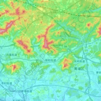
Name: 联和街道 topographic map, elevation, terrain.
Location: 联和街道, 黄埔区, 广州市, 广东省, 中国 (23.14134 113.39248 23.27029 113.47085)
Average elevation: 85 m
Minimum elevation: 4 m
Maximum elevation: 367 m