
Thank you for supporting this site ❤️
Make a donation
Make a donation
Moglia topographic map
Click on the map to display elevation.
Thank you for supporting this site ❤️
Make a donation
Make a donation
About this map
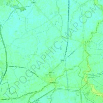
Name: Moglia topographic map, elevation, terrain.
Location: Moglia, Mantua, Lombardy, 46024, Italy (44.91340 10.87459 44.99259 10.97205)
Average elevation: 17 m
Minimum elevation: 13 m
Maximum elevation: 25 m
Thank you for supporting this site ❤️
Make a donation
Make a donation
Other topographic maps
Click on a map to view its topography, its elevation and its terrain.
Thank you for supporting this site ❤️
Make a donation
Make a donation
Forte di Pietole
Italy > Lombardy > Mantua > Borgo Virgilio > Pietole > Pietole Vecchia
Average elevation: 19 m