
Thank you for supporting this site ❤️
Make a donation
Make a donation
Lucas topographic map
Click on the map to display elevation.
Thank you for supporting this site ❤️
Make a donation
Make a donation
About this map
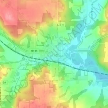
Name: Lucas topographic map, elevation, terrain.
Location: Lucas, Monroe Township, Richland County, Ohio, United States (40.69547 -82.43247 40.71220 -82.41222)
Average elevation: 356 m
Minimum elevation: 315 m
Maximum elevation: 408 m
Thank you for supporting this site ❤️
Make a donation
Make a donation