
Cleburne County topographic map
Interactive map
Click on the map to display elevation.
About this map
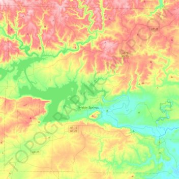
Name: Cleburne County topographic map, elevation, terrain.
Location: Cleburne County, Arkansas, United States (35.35807 -92.25370 35.71215 -91.78972)
Average elevation: 223 m
Minimum elevation: 67 m
Maximum elevation: 428 m