
Dunleer topographic map
Interactive map
Click on the map to display elevation.
About this map
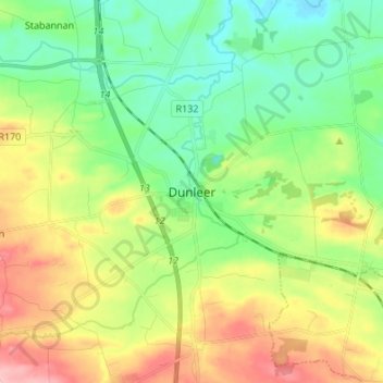
Name: Dunleer topographic map, elevation, terrain.
Location: Dunleer, County Louth, Leinster, Ireland (53.79162 -6.43508 53.87162 -6.35508)
Average elevation: 54 m
Minimum elevation: 1 m
Maximum elevation: 143 m