
Thank you for supporting this site ❤️
Make a donation
Make a donation
Lameirinha topographic map
Click on the map to display elevation.
Thank you for supporting this site ❤️
Make a donation
Make a donation
About this map
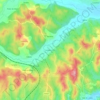
Name: Lameirinha topographic map, elevation, terrain.
Location: Lameirinha, Seiça, Ourém, Santarém, 2435-123, Portugal (39.68107 -8.51415 39.72107 -8.47415)
Average elevation: 140 m
Minimum elevation: 89 m
Maximum elevation: 205 m
Thank you for supporting this site ❤️
Make a donation
Make a donation