
Presidente Perón topographic map
Interactive map
Click on the map to display elevation.
About this map
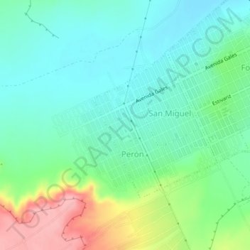
Name: Presidente Perón topographic map, elevation, terrain.
Average elevation: 50 m
Minimum elevation: 14 m
Maximum elevation: 137 m
Other topographic maps
Click on a map to view its topography, its elevation and its terrain.
La Alhambra
Argentina > Chubut > Municipio de Puerto Madryn
La Alhambra, Municipio de Puerto Madryn, Departamento Biedma, Chubut, Argentina
Average elevation: 128 m