
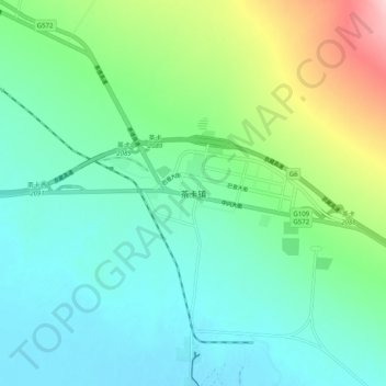
茶卡镇 topographic map
Interactive map
Click on the map to display elevation.
About this map
Name: 茶卡镇 topographic map, elevation, terrain.
Location: 茶卡镇, 乌兰县, 海西蒙古族藏族自治州, 青海省, 中国 (36.75152 99.03855 36.83152 99.11855)
Average elevation: 3,115 m
Minimum elevation: 3,062 m
Maximum elevation: 3,275 m
Other topographic maps
Click on a map to view its topography, its elevation and its terrain.