
Nekhla topographic map
Interactive map
Click on the map to display elevation.
About this map
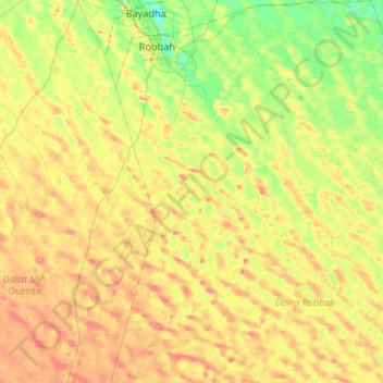
Name: Nekhla topographic map, elevation, terrain.
Location: Nekhla, Daïra Robbah, El Oued, Algérie (32.89890 6.91853 33.34222 7.38749)
Average elevation: 99 m
Minimum elevation: 71 m
Maximum elevation: 134 m