
Beni Ikhlef topographic map
Interactive map
Click on the map to display elevation.
About this map
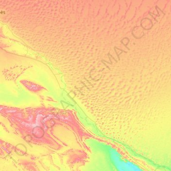
Name: Beni Ikhlef topographic map, elevation, terrain.
Location: Beni Ikhlef, Daïra de Kerzaz, Béni Abbès, Algérie (29.39424 -2.00748 30.09645 -0.97424)
Average elevation: 487 m
Minimum elevation: 290 m
Maximum elevation: 762 m
Other topographic maps
Click on a map to view its topography, its elevation and its terrain.
Kerzaz
Algérie > Béni Abbès > Daïra de Kerzaz > Kerzaz
Kerzaz, Daïra de Kerzaz, Béni Abbès, 08220, Algérie
Average elevation: 503 m
Timmoudi
Algérie > Béni Abbès > Daïra de Kerzaz > Timmoudi
Timmoudi, Daïra de Kerzaz, Béni Abbès, Algérie
Average elevation: 445 m