
Make a donation
Cherry Springs State Park topographic map
Click on the map to display elevation.
Make a donation
Cherry Springs State Park
Cherry Springs State Park is an 82-acre (33 ha) Pennsylvania state park in Potter County, Pennsylvania, United States. The park was created from land within the Susquehannock State Forest, and is on Pennsylvania Route 44 in West Branch Township. Cherry Springs, named for a large stand of Black Cherry trees in the park, is atop the dissected Allegheny Plateau at an elevation of 2,300 feet (701 m). It is popular with astronomers and stargazers for having "some of the darkest night skies on the east coast" of the United States, and was chosen by the Pennsylvania Department of Conservation and Natural Resources (DCNR) and its Bureau of Parks as one of "25 Must-See Pennsylvania State Parks".
Make a donation
About this map
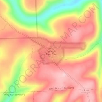
Name: Cherry Springs State Park topographic map, elevation, terrain.
Average elevation: 674 m
Minimum elevation: 538 m
Maximum elevation: 746 m
Make a donation