
Pennarun topographic map
Interactive map
Click on the map to display elevation.
About this map
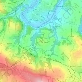
Name: Pennarun topographic map, elevation, terrain.
Average elevation: 96 m
Minimum elevation: 4 m
Maximum elevation: 244 m
Other topographic maps
Click on a map to view its topography, its elevation and its terrain.
Banine
France > Bretagne > Finistère > Saint-Coulitz
Banine, Saint-Coulitz, Châteaulin, Finistère, Bretagne, France métropolitaine, 29150, France
Average elevation: 89 m