
Mount Airy topographic map
Interactive map
Click on the map to display elevation.
About this map
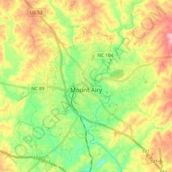
Name: Mount Airy topographic map, elevation, terrain.
Average elevation: 346 m
Minimum elevation: 265 m
Maximum elevation: 452 m
Other topographic maps
Click on a map to view its topography, its elevation and its terrain.
White Plains
United States > North Carolina > Surry County
White Plains, Surry County, North Carolina, United States
Average elevation: 353 m