
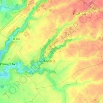
Saint-Génard topographic map
Interactive map
Click on the map to display elevation.
About this map
Name: Saint-Génard topographic map, elevation, terrain.
Average elevation: 117 m
Minimum elevation: 77 m
Maximum elevation: 148 m
Other topographic maps
Click on a map to view its topography, its elevation and its terrain.
Pouffonds
France > Nouvelle-Aquitaine > Deux-Sèvres > Marcillé
Pouffonds, Marcillé, Niort, Deux-Sèvres, Nouvelle-Aquitaine, France métropolitaine, 79500, France
Average elevation: 130 m