
亚运村街道 topographic map
Interactive map
Click on the map to display elevation.
About this map
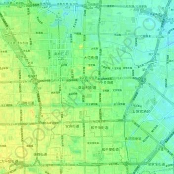
Name: 亚运村街道 topographic map, elevation, terrain.
Location: 亚运村街道, 朝阳区, 北京市, 100000, 中国 (39.94348 116.36337 40.02348 116.44337)
Average elevation: 47 m
Minimum elevation: 37 m
Maximum elevation: 59 m
Other topographic maps
Click on a map to view its topography, its elevation and its terrain.