
Thank you for supporting this site ❤️
Make a donation
Make a donation
Iorga topographic map
Click on the map to display elevation.
Thank you for supporting this site ❤️
Make a donation
Make a donation
About this map
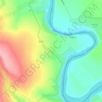
Name: Iorga topographic map, elevation, terrain.
Location: Iorga, Manoleasa, Botoșani, 717233, Romania (48.00627 27.06232 48.04627 27.10232)
Average elevation: 128 m
Minimum elevation: 79 m
Maximum elevation: 204 m
Thank you for supporting this site ❤️
Make a donation
Make a donation