
Bande topographic map
Interactive map
Click on the map to display elevation.
About this map
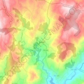
Name: Bande topographic map, elevation, terrain.
Location: Bande, A Baixa Limia, Ourense, Galice, 32840, Espagne (41.99161 -8.01491 42.07161 -7.93491)
Average elevation: 832 m
Minimum elevation: 538 m
Maximum elevation: 1,090 m