
River Nairn topographic map
Interactive map
Click on the map to display elevation.
About this map
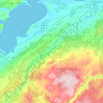
Name: River Nairn topographic map, elevation, terrain.
Average elevation: 178 m
Minimum elevation: 0 m
Maximum elevation: 613 m
Other topographic maps
Click on a map to view its topography, its elevation and its terrain.
Balblair
United Kingdom > Scotland > Highland > Nairn
Balblair, Nairn, Highland, Scotland, IV12 5LU, United Kingdom
Average elevation: 17 m